

Industrial Mapping & Site Management
Enhancing Insights for Industrial Properties and Operations with UAV Data
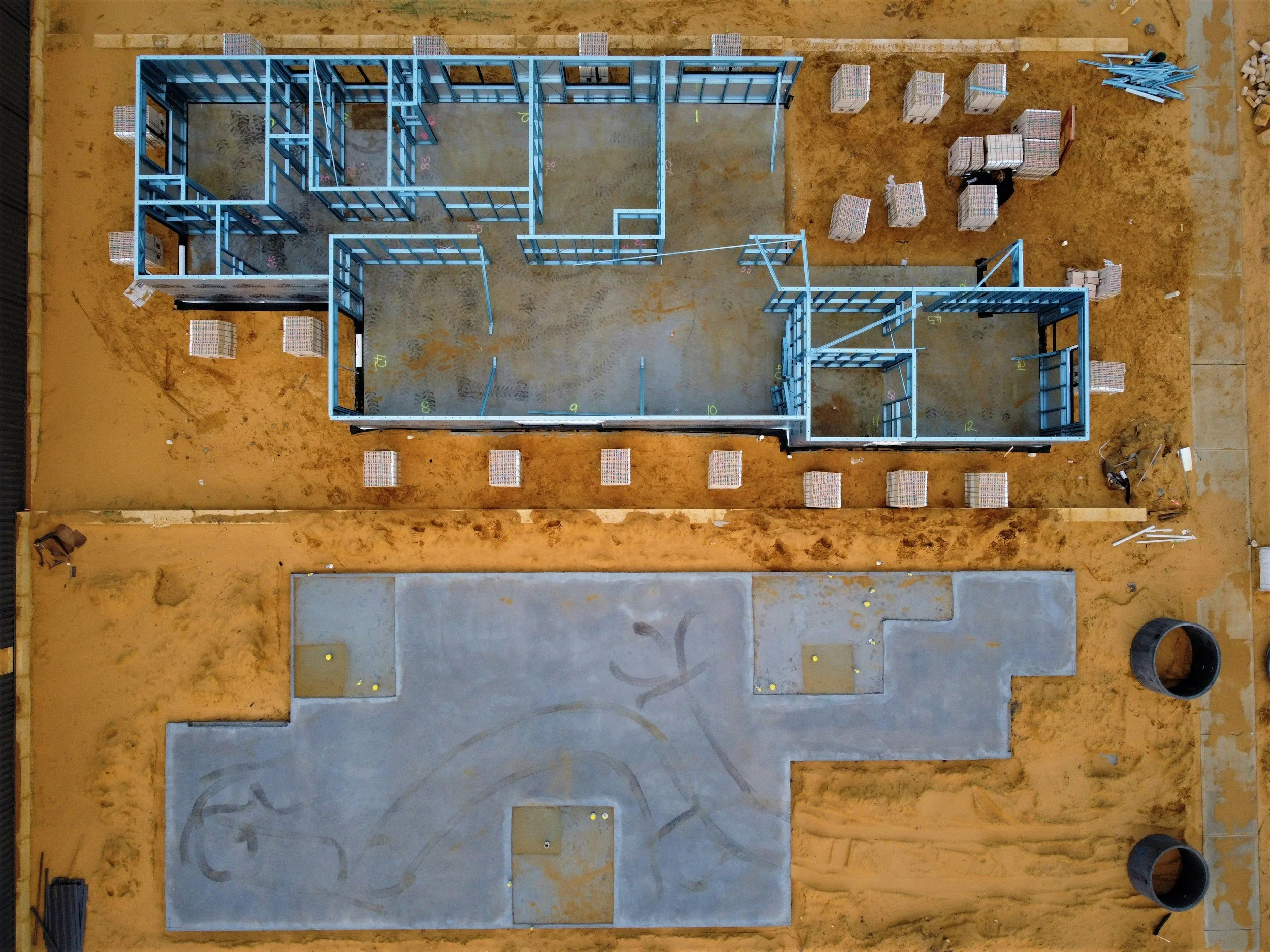
Infrasight's industrial mapping services provide comprehensive aerial data and analytics specifically for industrial properties and operations. Utilizing advanced UAVs and mapping technologies, we deliver detailed maps, models, and spatial data that support site planning, layout optimization, property management, and operational efficiency for facilities like manufacturing plants and distribution centers.
Applications
-
Optimizing the layout of industrial facilities and logistical operations. Detailed aerial maps and 3D models help in visualizing workflows, assessing space utilization, and planning for expansions or modifications. We provide the spatial data needed for efficient site design and operational planning
-
Mapping and tracking outdoor inventory and asset locations. For large industrial sites, keeping track of outdoor assets can be challenging; our mapping services provide a clear visual record of inventory location. We support improved logistical and inventory control with precise spatial data
-
Analyzing undeveloped land for its suitability for industrial development. Aerial data provides valuable insights into terrain, existing infrastructure, and potential environmental considerations. We help you evaluate the feasibility and potential of undeveloped parcels for industrial use
-
Utilizing spatial data to analyze and optimize industrial workflows and processes. Detailed maps and models can help identify bottlenecks, improve material flow, and enhance overall operational efficiency. We provide the tools for data-driven operational improvements
Benefits
-
Improving site management and logistical planning. Accurate maps and models of industrial sites support better organization of space, movement of goods, and overall operational efficiency. We provide the tools for optimized industrial operations and resource allocation
-
Making data-driven decisions on property acquisition and development for industrial purposes. The detailed data and analysis from our mapping services provide a solid foundation for evaluating potential industrial investments and planning future developments. We support strategic decision-making in the industrial sector
-
Utilizing spatial data to identify potential hazards and improve safety protocols within industrial sites. Detailed maps can highlight areas of concern and support the implementation of effective safety measures. We contribute to a safer working environment
-
Gaining a competitive edge through superior spatial data and analytics for industrial properties. Detailed maps and models provide a level of insight that can differentiate your operations and planning. We help you leverage advanced mapping for strategic advantage