Seeing
Infrastructure
differently.
our specialties
lidar infrastructure analysis
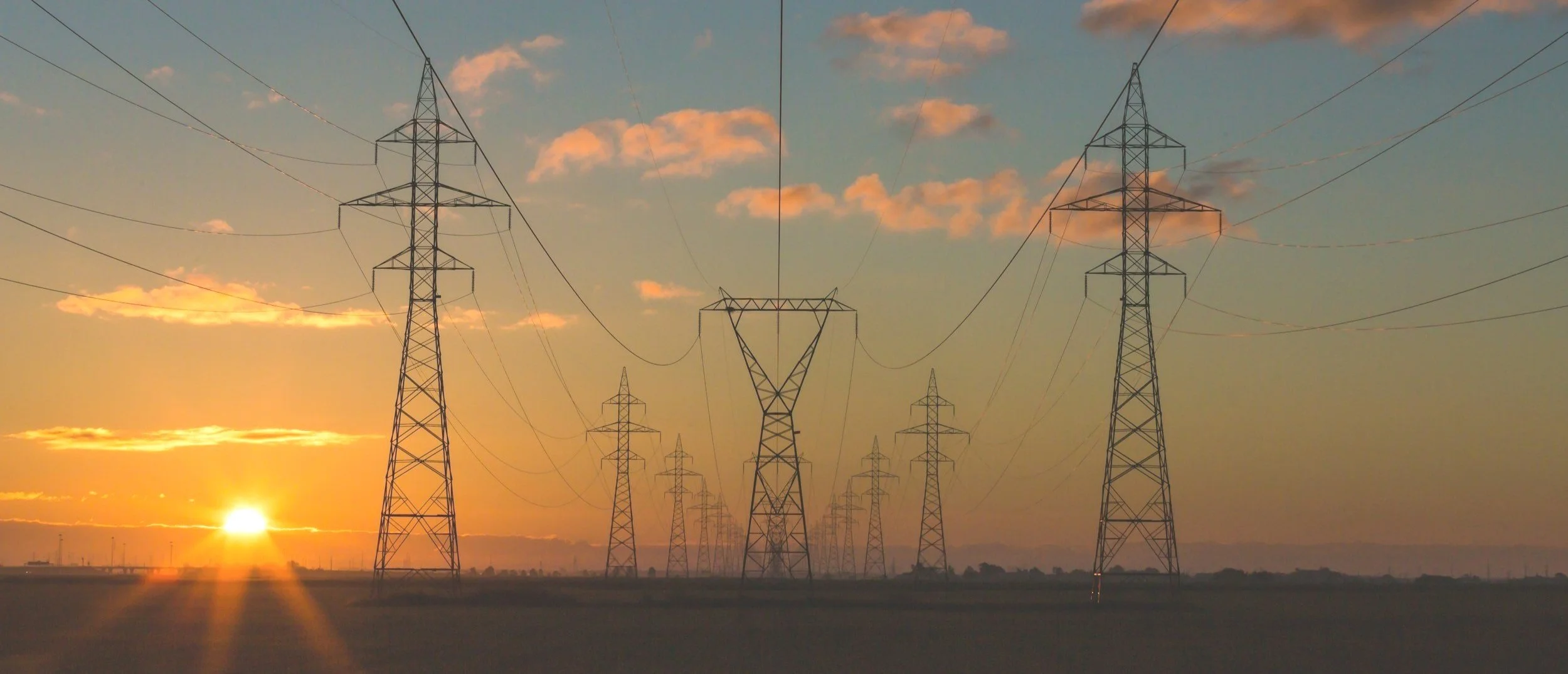
Leveraging advanced UAV-based LiDAR technology, Infrasight provides highly accurate 3D data crucial for the management and planning of critical infrastructure, with a primary focus on electric utilities. Our systems capture millions of data points to generate comprehensive and reliable geospatial data, even in challenging environments.
3d modeling and asset visualization
Infrasight transforms complex data, often derived from UAV surveys, into intuitive and interactive 3D models and visualizations. This service enhances understanding and decision-making for various applications, from visualizing utility networks to showcasing real estate developments. We leverage cutting-edge software and techniques to create compelling and informative visual representations of your assets and projects.
Existing infrastructure modeling
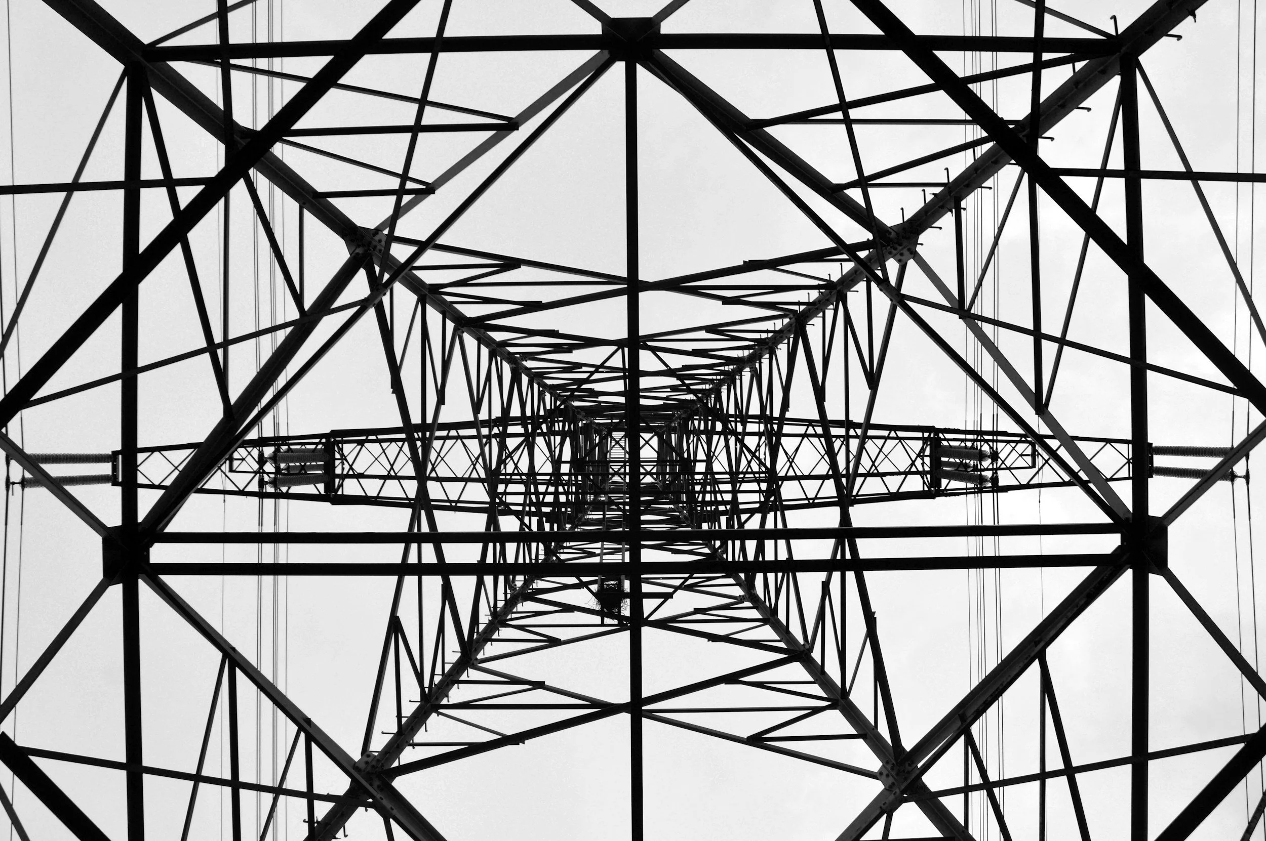
Our existing and as-built infrastructure modeling services create precise digital replicas of constructed assets, often utilizing data captured by UAVs. This is vital for electric utilities and other clients requiring accurate documentation for planning, maintenance, verification, and integration with systems like PLS-CADD.
visual and thermal inspections
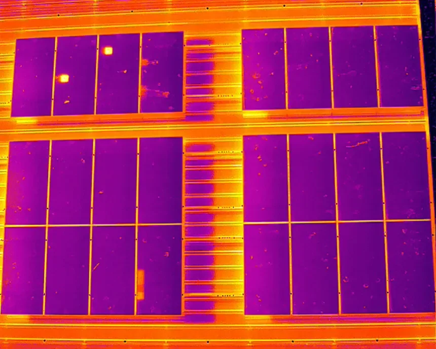
Our visual and thermal inspection services utilize UAVs equipped with high-resolution visual and thermal cameras to provide a non-invasive and highly effective way to assess the condition of your assets. This is particularly useful for electric utilities to detect anomalies, defects, and potential issues on poles, lines, and substations that are not visible to the naked eye. We provide detailed reports based on the captured imagery to support informed maintenance and repair decisions.
photogrammetry mapping
Infrasight utilizes high-resolution aerial imagery captured by UAVs to create detailed 2D and 3D maps and models. This photogrammetry service is valuable for a wide range of industrial and real estate applications, providing visually rich and georeferenced data for informed decision-making.
Vegetation & encroachment analysis
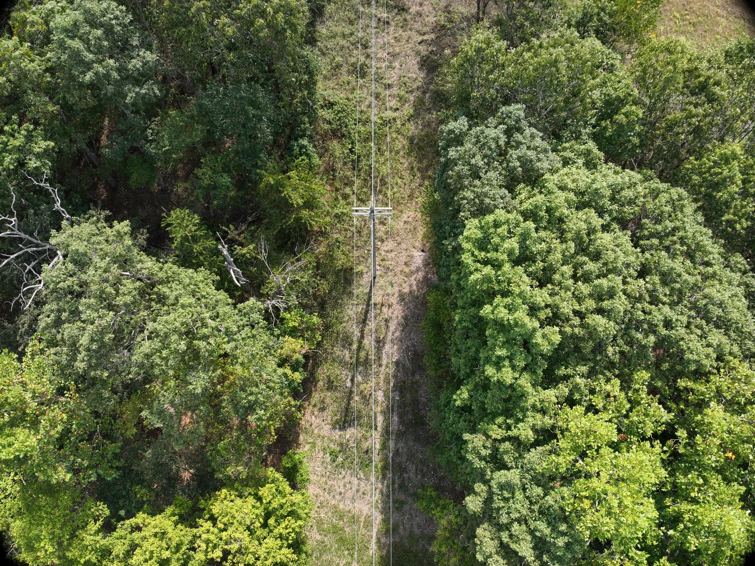
Infrasight's vegetation and encroachment analysis services help maintain clear and safe corridors around critical infrastructure, with a strong focus on vegetation growth that poses risks to power lines and other utility assets. We utilize precise mapping technologies, often involving UAV data and LiDAR, to identify, quantify, and monitor vegetation. This proactive approach is essential for preventing outages and ensuring the reliability of the power grid.
custom condition reports
We provide customized condition reports that consolidate our comprehensive inspection data, often gathered by UAVs and LiDAR systems, into clear, actionable insights. These reports are designed to meet your specific project requirements and support informed decision-making for various clients. We leverage our expertise to analyze the collected data and present findings in a format that is easy to understand and act upon.
real estate
Infrasight provides comprehensive aerial data and analytics specifically tailored for the real estate sector. Utilizing advanced UAVs, we deliver detailed maps, imagery, and 3D models that support property assessment, marketing, and sales. Our services offer a visually rich and informative perspective on real estate assets, aiding in informed decision-making for buyers, sellers, and developers.
industrial mapping
Infrasight's industrial mapping services provide comprehensive aerial data and analytics specifically for industrial properties and operations. Utilizing advanced UAVs and mapping technologies, we deliver detailed maps, models, and spatial data that support site planning, layout optimization, property management, and operational efficiency for facilities like manufacturing plants and distribution centers.
Contact Us
Interested in working together? Fill out some info and we will be in touch shortly. We can’t wait to hear from you!


