
Airspace is part of the job.
What can go wrong when airspace is an afterthought.
-
Delays.Last-minute authorization problems push flights out of the weather window you planned for, and a single missed day can stretch a tight capture schedule by weeks.
-
Violations and penalties.Flying in controlled airspace without the correct authorization is an FAA violation. Penalties vary, but the outcome is always some combination of fines, grounding, and a documented compliance problem on the operator's record.
-
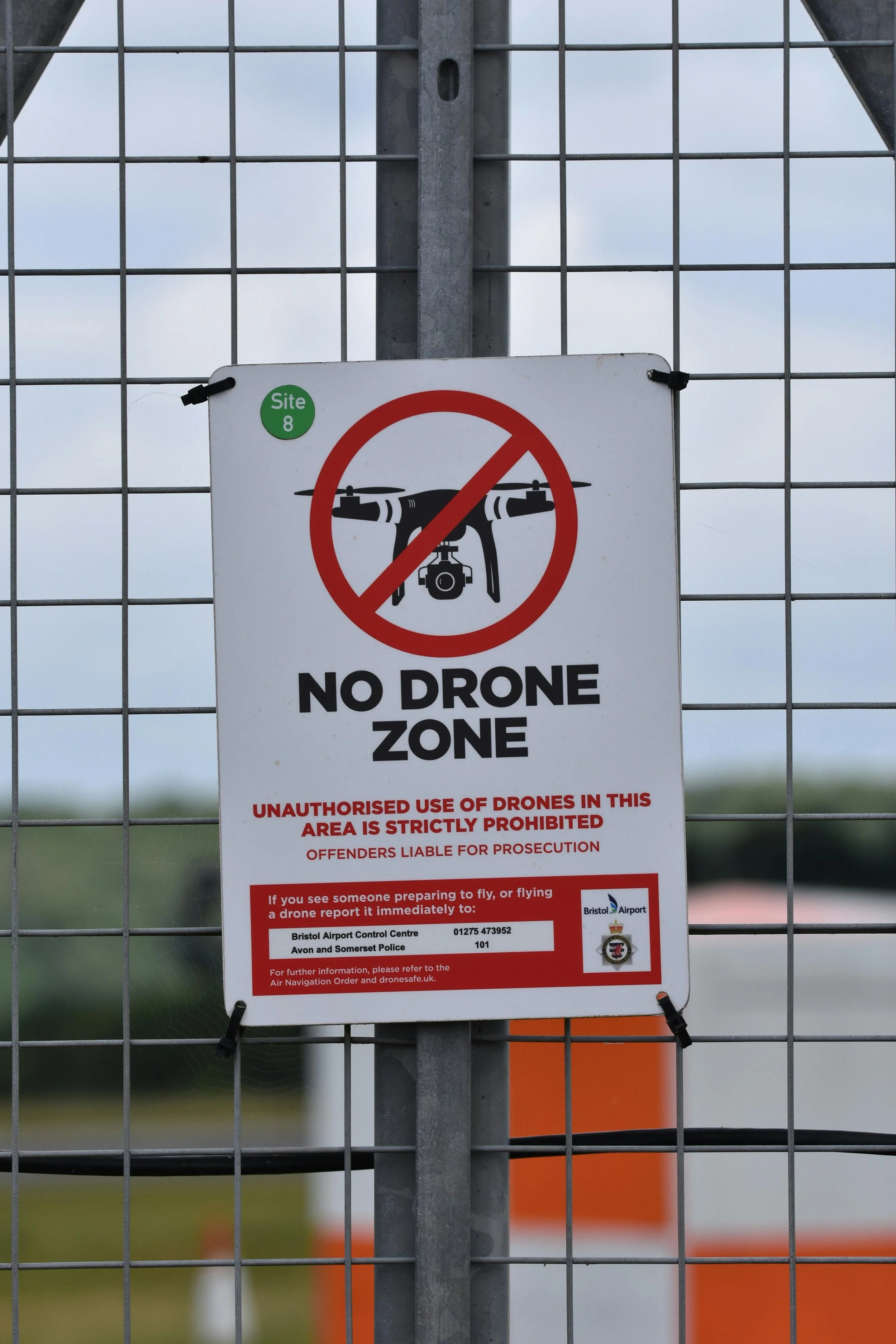
Data gaps from missed no-fly windows.TFRs, Notices to Airmen, and event-driven restrictions can close a zone with short notice. If the mission isn't planned around them, you end up with partial coverage and a return trip on the schedule.
How we stay compliant in controlled airspace.
Three overlapping layers of airspace compliance — a pilot-level certification, an automated authorization system, and a direct-coordination channel for the zones the automated system doesn't cover.

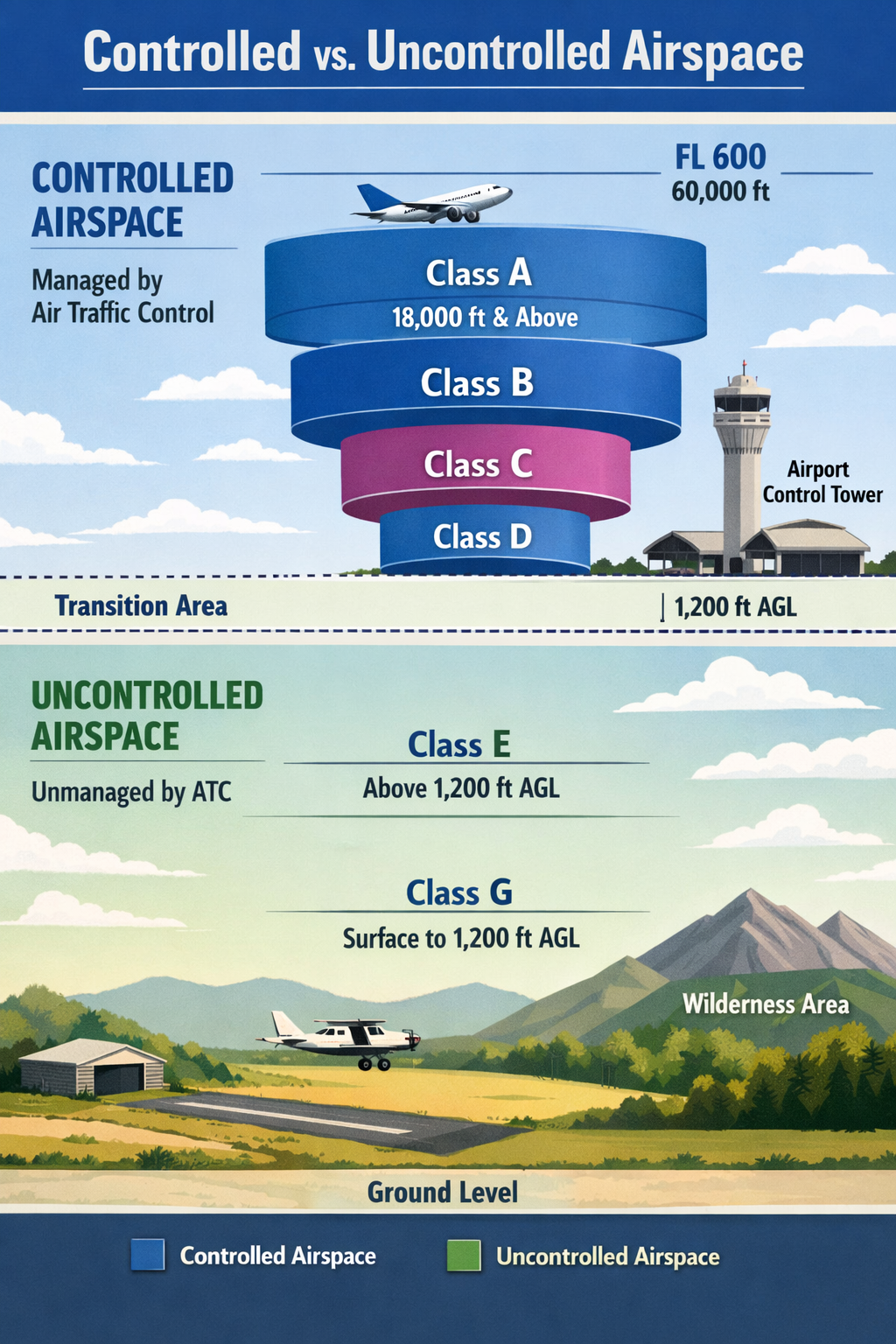
Class A through G, in plain English.
Airspace in the US is split into seven classes. Most of the ground you actually want a drone over falls into just a few of them. Here's the short version:
- Class A — 18,000 ft and above. Jet traffic only. No drone operations.
- Class B — large commercial airports (multi-layer "upside-down wedding cake"). Requires authorization; many zones now in LAANC.
- Class C — mid-size airports with operational control towers. Authorization required; commonly LAANC-supported.
- Class D — smaller towered airports. Typically 4 nm radius up to ~2,500 ft. Authorization required.
- Class E — controlled airspace that isn't A, B, C, or D. Often starts at 700 or 1,200 ft AGL; drones at or below 400 ft AGL are generally fine but rules still apply near airports.
- Class G — uncontrolled airspace. Most rural ground below 700 or 1,200 ft AGL. No ATC authorization, but Part 107 rules still apply.
Knowing which class a given asset sits in — and whether that class supports LAANC — decides the first five steps of mission planning.
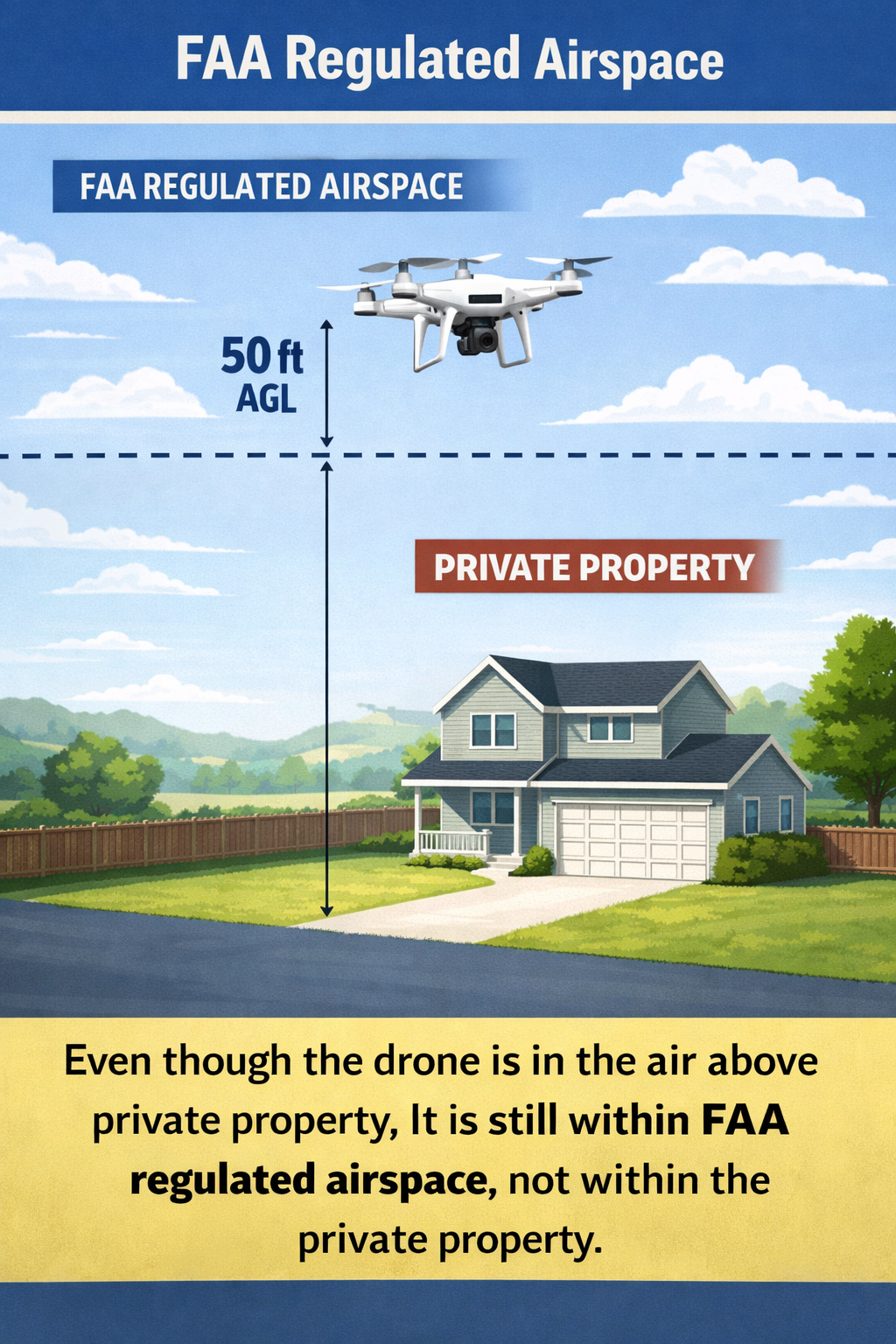
Landowners don't control the airspace above their property.
Airspace authority in the US is federal — it is not tied to property ownership. A landowner owns the ground and whatever sits on it up to the regulated airspace ceiling, and that's it. They do not have the legal right to enforce "private property" rules against an aircraft operating in the navigable airspace above that ceiling, drone or otherwise.
What it means in practice: a drone flight over private land still needs to satisfy the airspace class it's operating in (LAANC authorization, controlled-airspace coordination, or Part 107 compliance in uncontrolled airspace) — not the landowner's preference. We handle the airspace side end-to-end so the permissions question isn't yours to untangle — you confirm ground access where it matters, we confirm everything above it.
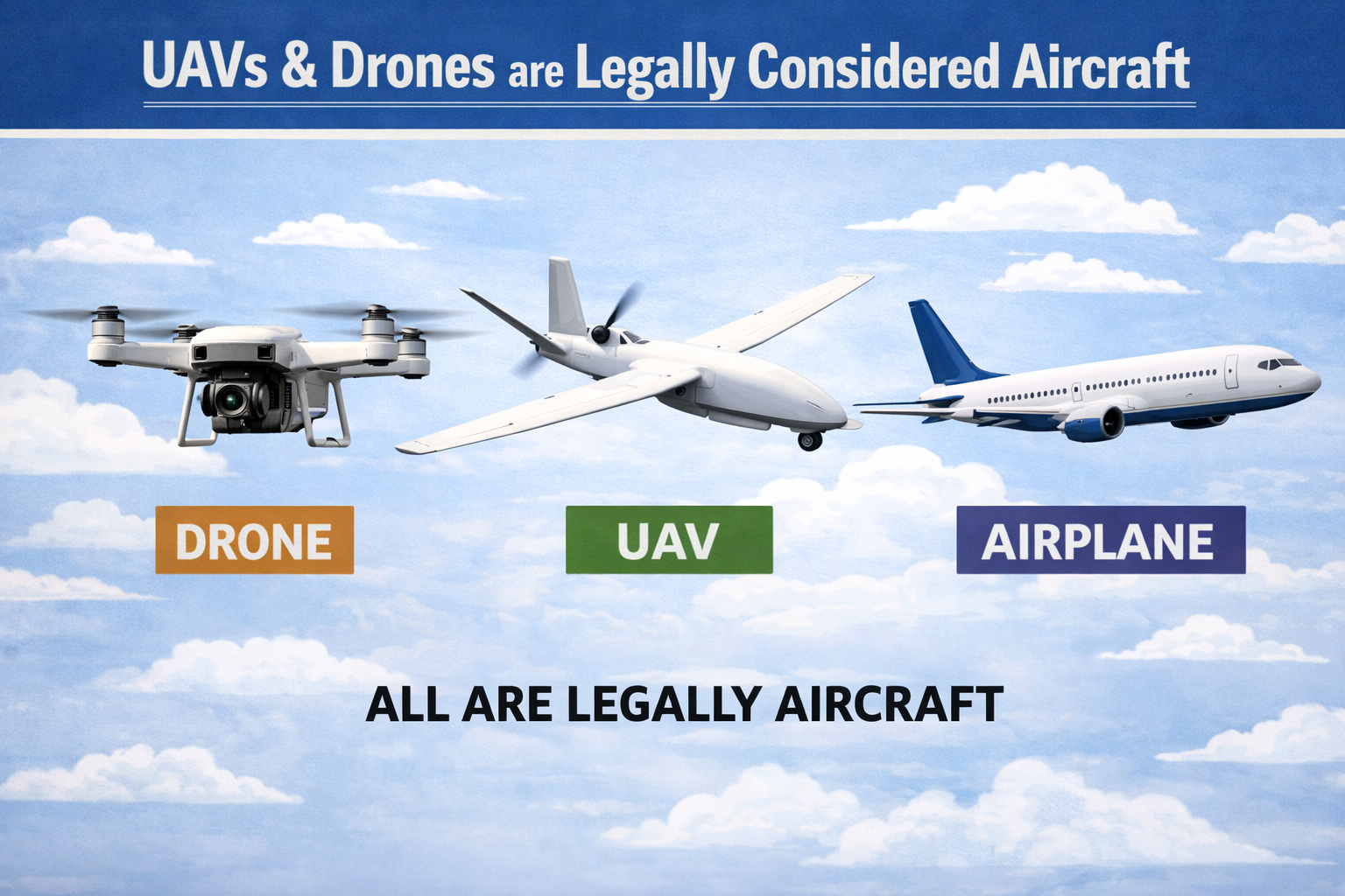
Drones are aircraft. Same rules apply.
A drone operating at 400 ft over your asset shares regulated airspace with helicopters, crop dusters, and low-altitude commercial traffic. The FAA classifies every UAS — including ours — as a legal aircraft, subject to the same airspace rules that govern every other aircraft in the sky.
In practice, this means every Infrasight mission is planned like any other aviation operation. Our pilots hold FAA Part 107 certification. We file LAANC authorization or coordinate directly with ATC where required, maintain commercial aviation insurance, and keep mission logs that match manned-aviation documentation standards. It isn't paranoia — it's the regulation we actually operate under, and it's why a client can hand us an asset location and trust the airspace side is handled end-to-end.
The flip side matters too: vendors who treat airspace as a checkbox are making the same regulatory bet that a commercial operator ignoring filed flight plans would. The rules are the same because the airspace is the same.
The airspace-compliance side, step by step.
Alongside the flight plan itself, every mission moves through four airspace checkpoints. Most clients never have to touch any of them — this is what we handle before the aircraft leaves the ground.